“Combining cutting edge remote sensing technology and data visualization with decades of experience and leadership on and under the water”.

Transform Your Workspace
Our state-of-the-art vessels are designed to offer a stable, versatile workspace right on the water. No matter your project, our experienced captains and deck crew will provide custom solutions to ensure you and your assets achieve a safe and successful mission.

Dive Deeper
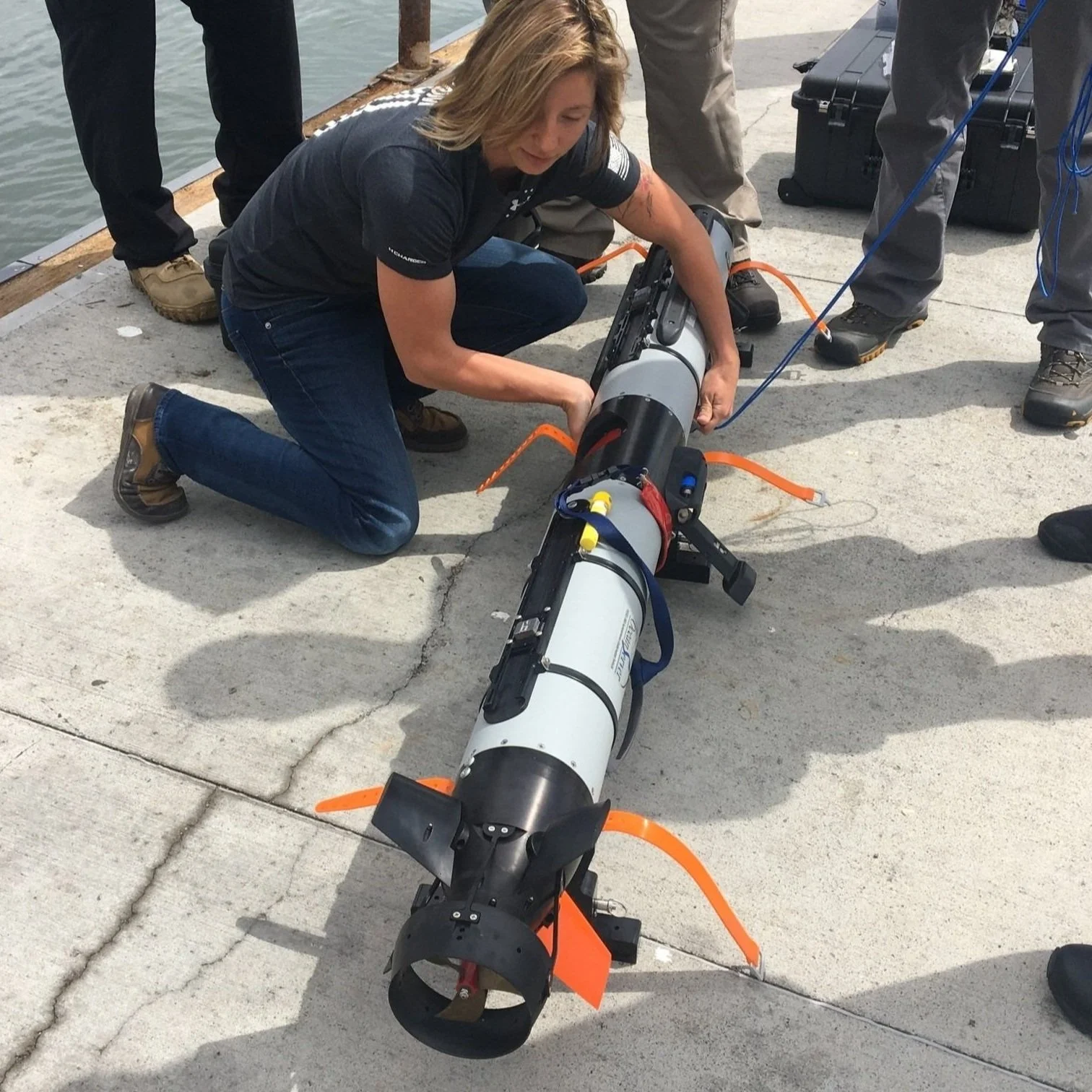
Our team of experts uses advanced technology including autonomous underwater vehicles (AUVs), remote operated vehicle (ROVs), and multibeam echo sounders (MBES) to provide accurate, comprehensive insights into underwater environments. Whether you're conducting underwater surveys, mapping underwater structures, or conducting environmental studies, we deliver precision and reliability.
Unparalleled Experience and Knowledge
Our team of experts consists of a wide variety of backgrounds and experience in marine survey. We offer classes on underwater survey equipment and data processing that can be catered to you or your company’s specific needs.

Map the Uncharted
Transform your data into actionable insights with Orca Maritime, your go-to experts in Geographic Information Systems (GIS). We specialize in delivering cutting-edge mapping and spatial analysis solutions to help you make the most of your data and drive mission success.